
British Columbia Riparian Areas Protection Regulation
The Riparian Areas Protection Act and associated Regulation are intended to protect riparian areas from land development in BC.
Key Takeaways:
The provincial Riparian Areas Protection Regulation (RAPR) outlines Riparian Protection Standards and prohibits development within the designated streamside proteciton and enhancement area (SPEA) around a stream. Local governments must have land use bylaws that meet or exceed the RAPR standards.
How Does RAPR Protect Riparian Areas?
All municipalities and regional districts in the Lower Mainland, except for the City of Vancouver, must have zoning or land use bylaws that meet or exceed the Riparian Protection Standards outlined in the Riparian Areas Protection Regulation (RAPR). Consult our environmental permit guide to learn more about riparian area protection bylaws that apply in each municipality and regional district.
RAPR Riparian Protection Standards
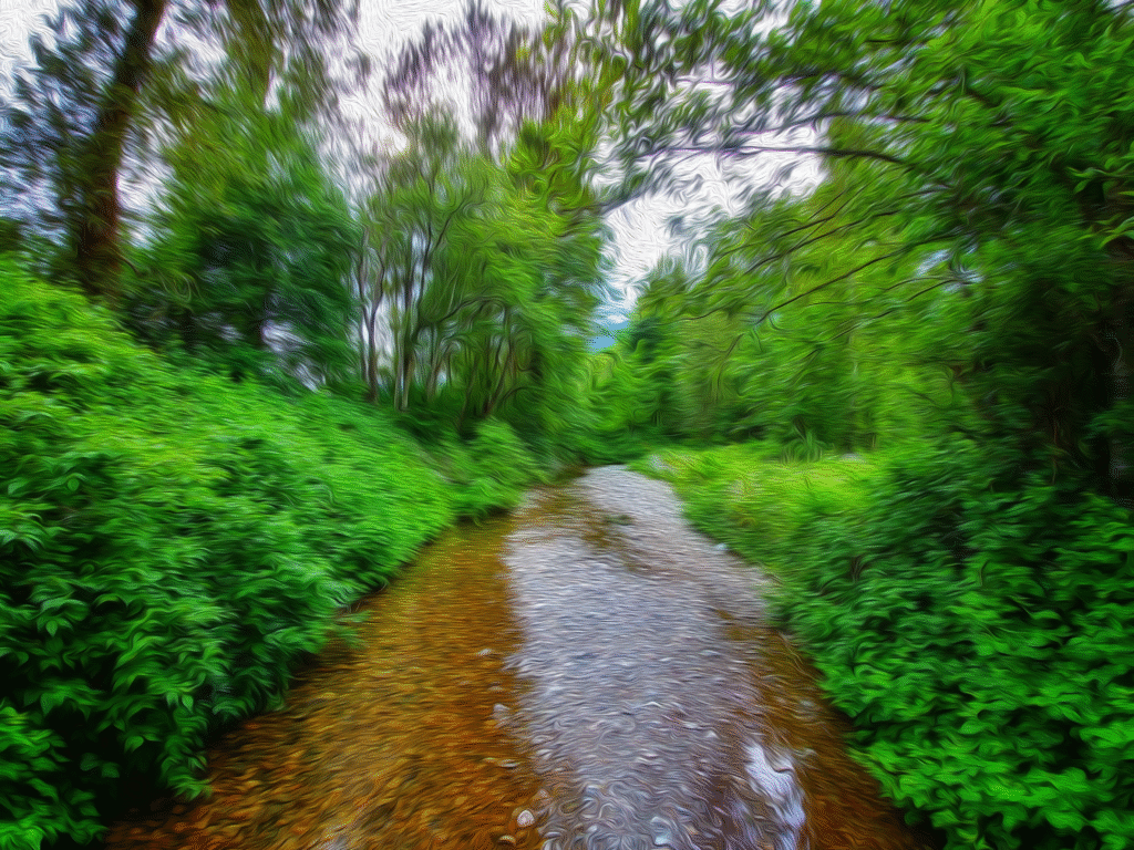
The Riparian Areas Protection Regulation prohibits development in the streamside protection and enhancement area (SPEA) around a stream.
How are Streams Defined?
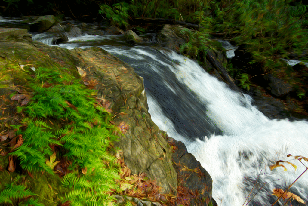
A stream is defined as:
- Any watercourse or water body, or
- Any ditch, spring, or wetland that is connected by surface flow to a watercourse or waterbody
Even watercourses that do not usually contain water (such as seasonal creeks or ditches) are streams under RAPR.
How is Development Defined?
For the purposes of RAPR, development includes:
- the addition, removal, or alteration of soil, vegetation, or a building or structure
- the addition, removal, or alteration of drainage systems, utility corridors, sewage systems, or water systems
- subdivision
The following activities are exempt from the Riparian Areas Protection Regulation:
- development that is not commercial, residential, or industrial
- repairs or non-structural additions to a building or structure, provided it remains on the existing footprint and is not damaged to the extent of more than 75% of its value above foundation
- maintenance of an existing area of human disturbance, provided the area is not extended and the disturbance type is not changed
- works authorized by the DFO under the federal Fisheries Act
Note: Although many municipalities use these definitions in their own bylaws, some have different definitions of ‘stream’ or ‘development’. Always consult riparian protection bylaws specific to the municipality you are working in to ensure compliance.
Riparian Area Assessments
The Riparian Areas Protection Regulation (RAPR) stipulates that all development within the ‘Riparian Assessment Area’ of a stream should be regulated to ensure compliance with the Riparian Protection Standards.
The riparian assessment area is the strip of land within:
- 30 metres of the high-water mark of a stream
- 30 metres of the top of bank of a ravine less than 60 metres wide
- 10 metres of the top of bank of a ravine greater than 60 metres wide
A ravine is defined as a steep sided valley with a slope of 3:1, typically eroded by running water.
In many Lower Mainland municipalities, an assessment to determine the width of streamside setbacks will be required for any development within the Riparian Assessment Area of a stream. In some municipalities, riparian protection bylaws and development permits apply within 50 metres of the top of bank, which exceeds the RAPR Riparian Assessment Area. Always consult regulations specific to the municipality you are working in to ensure compliance.
How are Streamside Setbacks Determined?
The Riparian Areas Protection Regulation (RAPR) outlines two methods, simple and detailed, to calculate the width of the SPEA (i.e. streamside setback). Many municipalities in the Lower Mainland have their own methods for calculating streamside setbacks, which produce different results. These methods are intended to meet or exceed RAPR, and are the primary means of regulating riparian development in the Lower Mainland. For more information, consult our permit guide page for the municipality of interest.
Below is a brief description of the SPEA calculation methods, as prescribed by RAPR. Both methods should be conducted by a qualified environmental professional (QEP). Contact Forte Urban Forestry for professional riparian area assessments to help your project move forward.
Simple Assessment Method
The simple assessment method sets the SPEA width based on simple stream characteristics such as fish-bearing status, stream permanence, and existing or potential vegetation. Using these characteristics, the QEP can consult the Technical Assessment Manual to determine the SPEA width.
Detailed Assessment Method
The detailed assessment method involves determining ‘zones of sensitivity’ related to stream function and form characteristics. SPEAs calculated from a detailed assessment are often narrower than those calculated from a simple assessment. However, the detailed assessment also requires that a QEP identify and make recommendations based on potential hazards posed by the proposed development to the SPEA. These hazards can include windthrow and steep slopes, and recommendations may require additional setbacks outside the SPEA. When a detailed assessment is conducted, the Riparian Protection Standards state that development cannot result in any harmful alteration, disruption, or destruction of natural features, functions, and conditions in the SPEA that support the life processes of protected fish. The QEP should reference this standard when conducting a detailed assessment.
Riparian Areas Protection Regulation Notification System
The province provides a RAPR Notification System for developers to submit riparian assessment reports for review. The Riparian Areas Protection Regulation specifies that local governments should wait to receive a reviewed copy of the report from the province prior to development approval. Despite this, many local governments in the lower mainland do not require that assessment reports be submitted and approved by the province. In some cases, local governments only require this submission when their own streamside setbacks are proposed to be reduced or varied. Consult riparian protection bylaws specific to the municipality you are working in to review reporting requirements.
Can the SPEA be Reduced?
Lower Mainland municipalities have variance processes in place to reduce the width of streamside setbacks. However, all riparian setbacks must meet the minimum SPEA defined by RAPR through a detailed assessment. It may be possible to reduce the RAPR SPEA when a landowner is subject to undue hardship, as defined below.
RAPR Undue Hardship
All the following conditions must be satisfied for a parcel to be subject to undue hardship:
- The parcel was created by subdivision in accordance with the laws in force at the time
- The developer has sought and received a decision on every variance that would reduce the legally restricted area of the site
- The developable area of the parcel is less than the allowable footprint, which is:
- 30% of the site area, for a parcel with an area of human disturbance less than or equal to 70% of the site area
- 40% of the site area, for a parcel with an area of human disturbance greater than 70% of the site area
Section 10(2) of the Riparian Areas Protection Regulation allows a parcel subject to undue hardship to meet the Riparian Protection Standard if:
- Development is situated and designed to minimize encroachment into the SPEA
- Development will not result in any harmful alteration, disruption, or destruction of natural features of the SPEA that support protected fish
- Development occurs only in parts of the SPEA that are already an area of human disturbance, as defined below
- Areas of human disturbance on the parcel after development is complete will not exceed the allowable footprint of the site
Area of human disturbance is defined as ‘an area that is subject to enduring disturbance as a result of human occupation or activity’. It includes:
- Building and structure footprints
- Areas where the soil or vegetation has been added, removed, or altered
- Areas modified for agricultural use
- Areas that are or have been used for resource extraction and have not been restored to their natural conditions
- Areas occupied by invasive plant species to an extent that precludes the unassisted reestablishment of native plant species.
Undue hardship should be addressed in the detailed assessment report sent to the province through the RAPR Notification System.
Disclaimer: Environmental regulations change frequently. Our goal is to keep the content of this page up-to-date and accurate. If you notice inaccurate information, please contact us so we can make corrections.
Last Updated in July 2025